
Resim:BlankMapTurkeyProvinces.png
Vikipedi, özgür ansiklopedi
Ön izleme boyutu: 800 × 391 piksel
Tam çözünürlük (1.024 × 500 piksel, dosya boyutu: 23 KB, MIME tipi: image/png)
| | Bu dosya Wikimedia Commons'da yüklüdür. Dosyanın açıklaması aşağıdadır. |
| Description |
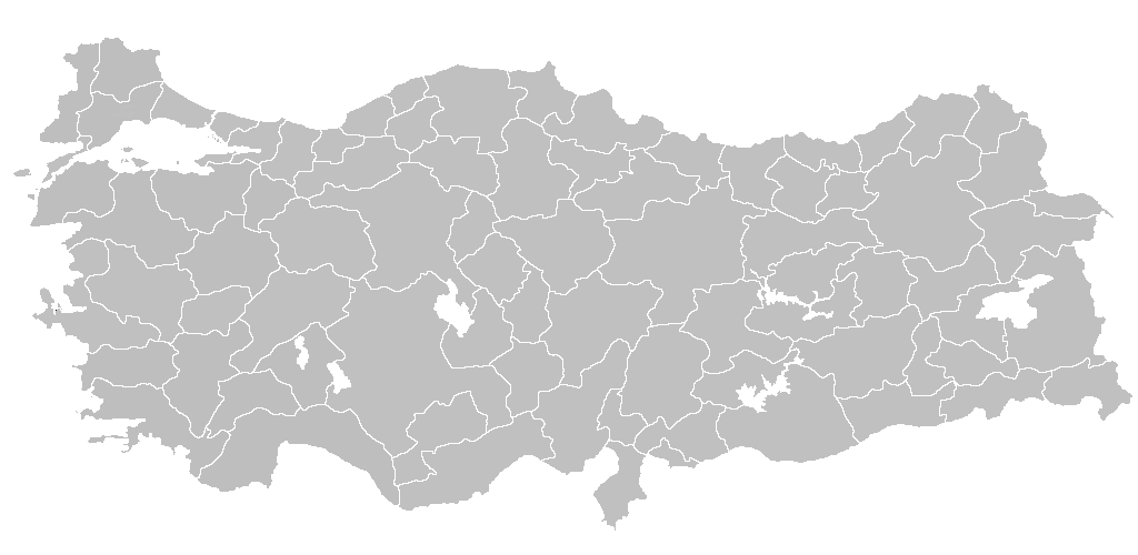
Blank map of Republic of Turkey's provinces. The regions are carefully separated on per pixel basis and ready for filling in with a paint tool. |
|---|---|
| Source |
Self drawn from scratch, based on data from official Turkish motorway network map |
| Date |
December 21, 2006 |
| Author | |
| Permission (Reusing this image) |
I grant permission for anyone to use this under the terms of GFDL license, see below |
[edit] Licensing

Dosya geçmişi
Dosyanın geçmişini görebilmek için Gün/Zaman bölümündeki tarihleri tıklayınız.
| Gün/Zaman | Boyutlar | Kullanıcı | Açıklama | |
|---|---|---|---|---|
| Şimdiki | 22:14, 18 Şubat 2007 | 1.024×500 (23 KB) | AtilimGunesBaydin | (Removed Samothraki, which was accidentally included. I'm sorry for the mistake.) |
| 16:46, 22 Aralık 2006 | 1.024×500 (23 KB) | AtilimGunesBaydin | (Slight resize.) | |
| 21:51, 21 Aralık 2006 | 1.024×499 (23 KB) | AtilimGunesBaydin | ({{Information |Description=Blank map of Republic of Turkey's provinces |Source=Drawn from scratch on based on data from [http://www.kgm.gov.tr/images/trkh-yeni1.jpg official Turkish motorway network map] |Date=December 21, 2006 |Author=[[:e) |
Kullanıldığı sayfalar
Bu görüntü dosyasına bağlantısı olan sayfalar:
- Türkiye
- İstanbul (il)
- Türkiye'deki iller
- Diyarbakır (il)
- Şablon:Türkiye'nin illeri
- Tokat (il)
- Adana (il)
- Adıyaman (il)
- Mardin (il)
- Antalya (il)
- Balıkesir (il)
- Bilecik (il)
- Bingöl (il)
- Burdur (il)
- Bursa (il)
- Çanakkale (il)
- Çankırı (il)
- Edirne (il)
- Gaziantep (il)
- Trabzon
- Hatay (il)
- Isparta (il)
- Mersin (il)
- Kırklareli (il)
- Kocaeli (il)
- Malatya
- Manisa (il)
- Kahramanmaraş (il)
- Nevşehir (il)
- Ordu (il)
- Sakarya (il)
- Tekirdağ (il)
- Şanlıurfa (il)
- Batman (il)
- Şırnak (il)
- Iğdır (il)
- Yalova (il)
- Karabük (il)
- Kilis (il)
- Osmaniye (il)
- İllerin yüzölçümleri
- Şablon tartışma:Türkiye'nin illeri
- İzmir (il)
- Şablon:Türkiye etiketli iller haritası
- Şablon:1950seçimleri
- Kullanıcı mesaj:Givinli
- Şablon:Türkiye bölgeleri
- Portal:Türkiye
- Portal:Turkey/Provinces
- Sınırları dahilinde ada bulunan iller
- Kullanıcı:Hakan42/4OSM
- Sarılar, Avanos

