Immagine:PeriplusAncientMap.jpg
Da Wikipedia, l'enciclopedia libera.
Dimensioni di questa anteprima: 763 × 600 pixel
Versione ad alta risoluzione (1.524 × 1.198 pixel, dimensioni: 239 KB, tipo MIME: image/jpeg)
Questo file e la sua pagina di descrizione si trovano su Wikimedia Commons.
Se non hai mai usato Commons, visita la pagina di benvenuto o leggi le FAQ.
[edit] Summary
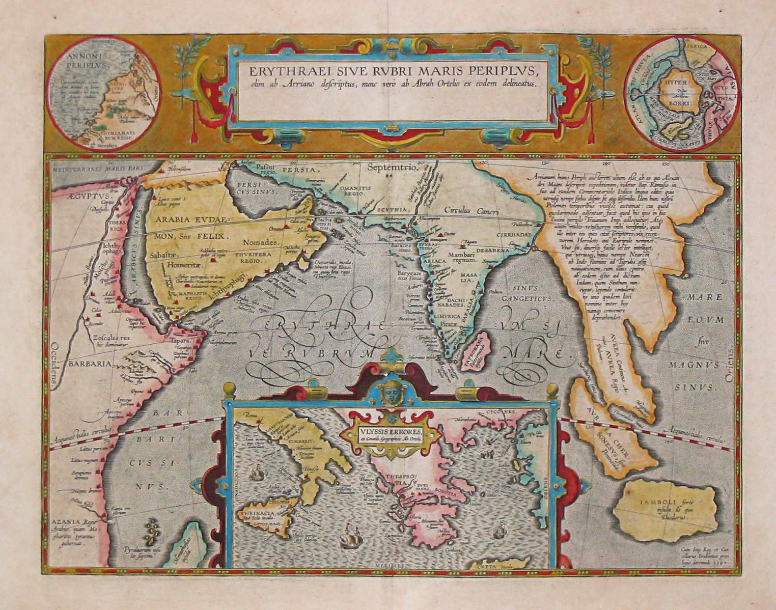
Ancient map (17th century) depicting the locations of the Periplus of the Erythraean Sea.
[edit] Licensing
This photographic reproduction is therefore also in the public domain. العربية | Česky | Deutsch | English | Ελληνικά | Español | فارسی | Français | עברית | Bahasa Indonesia | Italiano | 日本語 | 한국어 | Magyar | Nederlands | Polski | Português | Română | Русский | Slovenščina | Српски / Srpski | Basa Sunda | Türkçe | Українська | 中文(繁體) | 中文(简体) | +/- |
Cronologia di questa immagine
Fare clic su un gruppo data/ora per vedere il file come si presentava nel momento indicato.
| Data | Dimensioni | Utente | Commento | |
|---|---|---|---|---|
| corrente | 10:10, 24 mar 2007 | 1.524×1.198 (239 KB) | PHGCOM | (Ancient map (17th century) depicting the locations of the Periplus of the Erythraean Sea.) |
Pagine che usano questa immagine
Le pagine seguenti richiamano questa immagine:

