Fil:Lower slopes of Hermaness Hill, Unst.jpg
Frå Wikipedia – det frie oppslagsverket
Høgare oppløysing er ikkje tilgjengeleg.
Lower_slopes_of_Hermaness_Hill,_Unst.jpg (640 × 479 pikslar, filstorleik: 45 KB, MIME-type: image/jpeg)
| | Dette er ei fil frå Wikimedia Commons. Sjå filomtalen der for meir informasjon. |
| This image was taken from the Geograph project collection. See this photograph's page on the Geograph website for the photographer's contact details. The copyright on this image is owned by Bob Embleton and is licensed for reuse under the Creative Commons Attribution-ShareAlike 2.0 license. |
| This file is licensed under Creative Commons Attribution ShareAlike 2.0 License (cc-by-sa-2.0). In short: you are free to share and make derivative works of the file under the conditions that you appropriately attribute it, and that you distribute it under this or a similar cc-by-sa license. |
60:50.6829N 0:53.3210W
| Description |
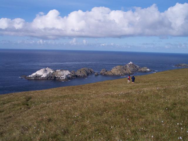
Lower slopes of Hermaness Hill, Unst |
|---|---|
| Source | |
| Date |
Wednesday, 18 August, 2004 |
| Author |
Bob Embleton |
| Permission (Reusing this image) |
see below |
Filhistorikk
Klikk på dato/klokkeslett for å sjå fila slik ho var på det tidspunktet.
| Dato/klokkeslett | Oppløysing | Brukar | Kommentar | |
|---|---|---|---|---|
| noverande | 30. mai 2007 kl. 01:26 | 640×479 (45 KB) | Jorunn | ({{geograph|2131|Bob Embleton}} 60:50.6829N 0:53.3210W {{Information |Description='''Lower slopes of Hermaness Hill, Unst'''<br> The most northerly point of the island of Unst looking out to The Skerries (in HP6019).<br>From left to right, which is also ) |
Fillenkjer
Dei følgjande sidene har lenkjer til denne fila:

