चित्र:Greater london outline map bw.png
विकिपीडिया, एक मुक्त ज्ञानकोष से
इससे ज्यादा रिज़ोल्यूशन उपलब्ध नहीं हैं.
Greater_london_outline_map_bw.png (६०० × ५०० पिक्सेल, फ़ाइल का आकार: १९९ KB, MIME प्रकार: image/png)
| | This is a file from the Wikimedia Commons. The description on its description page there is shown below. |
[edit] Summary
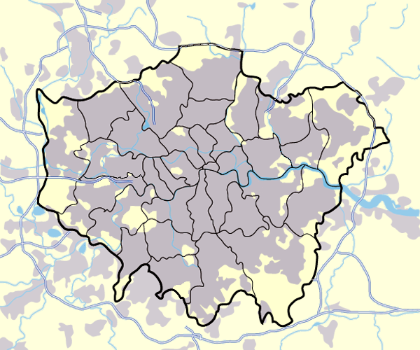
Image:Greater_london_outline_map.png showing built up areas in grey, motorways in blue, water-bodies in light-blue and London borough and county boundaries in black.
Based on a map originally by User:ChrisO.
Revised to correct motorways. DavidCane 19:42, 31 March 2007 (UTC)
[edit] Licensing

फ़ाइल का इतिहास
फ़ाइलका पुराना अवतरण देखने के लिये दिनांक/समय पर क्लिक करें।
| दिनांक/समय | डायमेन्शन्स | सदस्य | प्रतिक्रिया | |
|---|---|---|---|---|
| सद्य | १७:१३, ११ मार्च २००८ | ६००×५०० (१९९ KB) | Jhamez84 | (slight alteration making the boundaries clearer between Newham and Barking and Dagenham - Ealing and Hounslow - and City of London and the City of Westminster) |
| १९:४०, ३१ मार्च २००७ | ६००×५०० (२१७ KB) | DavidCane | ||
| १४:३३, १९ मार्च २००७ | ६००×५०० (५१२ KB) | Jhamez84 | (minor colour correction) | |
| १४:३०, १९ मार्च २००७ | ६००×५०० (५१२ KB) | Jhamez84 | (yellowed white backdrop and altered blue of water bodies inline with UK mapping) | |
| ११:१६, १५ मार्च २००७ | ६००×५०० (५५२ KB) | Jhamez84 | (Corrected some issues with Motorways and borough boundaries. ) | |
| १९:२२, २५ फरवरी २००७ | ६००×५०० (४७६ KB) | Jhamez84 | (Map of Greater London and area. Self made and released to public domain.) | |
| १८:०९, १८ नवम्बर २००६ | ६००×५०० (२१ KB) | Dtcdthingy | (Image:Greater_london_outline_map.png with toned down colour scheme. Originally by User:ChrisO.) |
कड़ियाँ
निम्नलिखित पन्ने इस चित्र से जुडते हैं :

