
Kuva:NWCoast1a.png
Wikipedia

Tämä kuvatiedosto on Wikimedia Commonsista ja se on Wikimedia-projektien yhteiskäytössä. Kuvan sivulla Commons-wikissä on lisätietoja kuvasta ja sen käyttöoikeustiedot.
| Description |
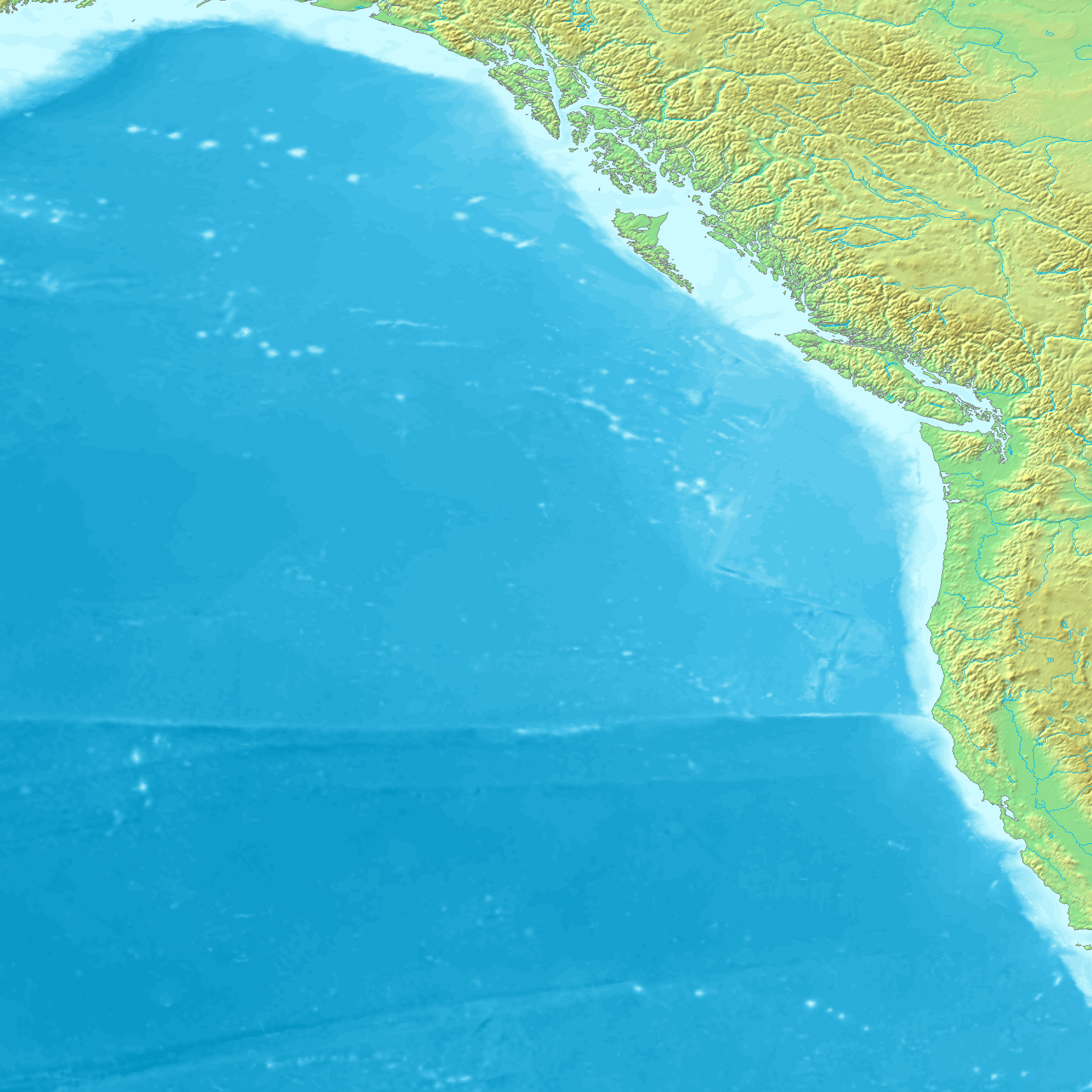
Map of the coast of the Pacific Northwest --- Islands and major straits of the northern American pacific coast showing Prince of Wales Island (Alaska), Queen Charlotte Sound (Canada), Dixon Entrance, Hecate Strait, Baranof Island, Chichagof Island, Juneau Icefield, Stikine Icecap and other |
|---|---|
| Source |
http://en.wikipedia.org/wiki/Image:NWCoast1a.png — — — This is adapted from a regional Topographic map made from GEMS data that is already posted on Wikimedia Commons. Original map created from DEMIS Mapserver, which are public domain. |
| Date | |
| Author | |
| Permission (Reusing this image) |
|

Tiedoston historia
Päiväystä napsauttamalla näet millainen tiedosto oli sillä ajan hetkellä.
| Päiväys | Koko | Käyttäjä | Kommentti | |
|---|---|---|---|---|
| nykyinen | 1. syyskuuta 2006 kello 11.24 | 761×529 (172 KiB) | Mattes | ({{Information |Description=Map of the coast of the Pacific Northwest --- Islands and major straits of the northern American pacific coast showing Prince of Wales Island (Alaska), Queen Charlotte Sound (Canada), Dixon Entrance, Hecate Strait, Baranof Isla) |
Viittaukset sivuilta
Seuraavilta sivuilta on linkki tähän tiedostoon:

