
Imatge:Lincoln Sea map.png
De Viquipèdia
Mida d'aquesta previsualització: 657 × 600 píxels
Imatge en màxima resolució (1.000 × 913 píxels, mida de l'arxiu: 302 KB, tipus MIME: image/png)
| | Aquest arxiu és una càrrega compartida, extreta del projecte Wikimedia Commons i pot ser usada per altres projectes. Si voleu disposar de més informació sobre el fitxer, podeu visitar la pàgina original |
| Camera location | This and other geocoded Commons images: | (Info) |
|---|
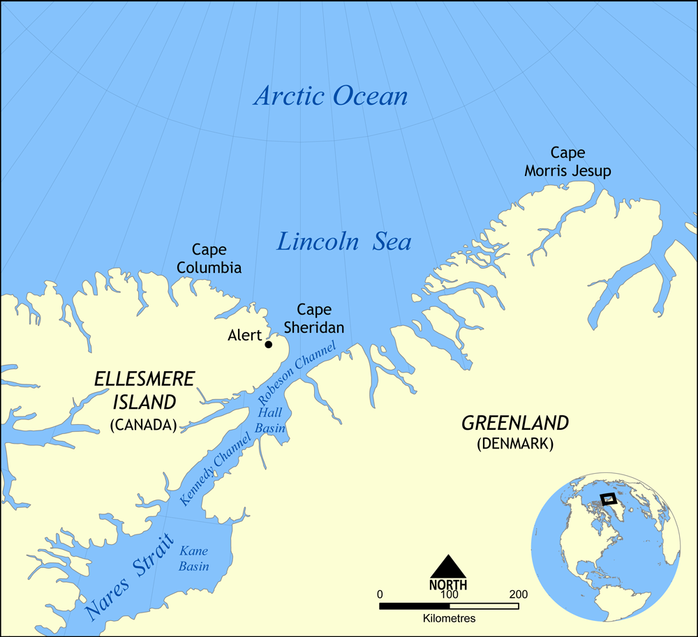
Map showing the location of the Lincoln Sea, part of the Arctic Ocean. Also shows Cape Columbia and Cape Morris Jesup.
Created by NormanEinstein, May 30, 2006.

Historial del fitxer
Cliqueu sobre la data/hora per veure el fitxer tal com era aleshores.
| Data/Hora | Dimensions | Usuari | Comentari | |
|---|---|---|---|---|
| actual | 18:01, 7 ago 2007 | 1.000×913 (302 KB) | NormanEinstein | (Updated map. Slightly larger size.) |
| 23:14, 6 ago 2007 | 657×600 (185 KB) | Eivindghoel | ||
| 23:13, 6 ago 2007 | 657×600 (185 KB) | Eivindghoel | ||
| 16:02, 30 maig 2006 | 996×909 (104 KB) | NormanEinstein | ({{Information Map showing the location of the Lincoln Sea, part of the Arctic Ocean. Also shows Cape Columbia and Cape Morris Jesup. Created by NormanEinstein, May 30, 2006. {{GFDL-self}} Category:Maps of seas) |
Enllaços a la imatge
Les següents pàgines enllacen a aquesta imatge:

