
Image:Uk outline map.png
维基百科,自由的百科全书
[edit] Summary
| Description |
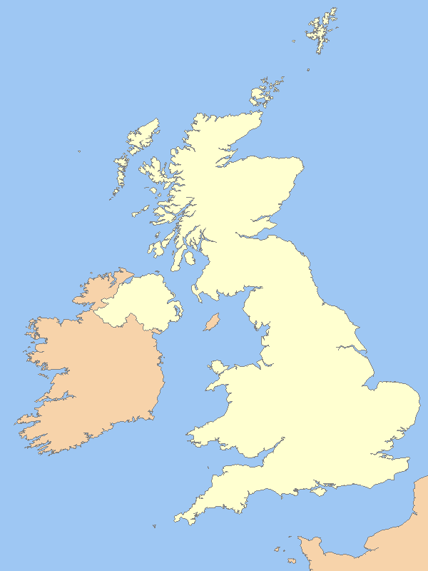
A blank map of the United Kingdom, with country outline and coastline; contact the author for help with modifications or add-ons |
|---|---|
| Source |
Reference map provided by Demis Mapper 6 |
| Date |
2006-21-06 |
| Author | |
| Permission (Reusing this image) |
See below |
[edit] Licensing

文件历史
点击日期/时间以查看当时出现过的文件。
| 日期/时间 | 维度 | 用户 | 注解 | |
|---|---|---|---|---|
| 当前 | 2007年3月31日 (六) 00:14 | 600×800 (9 KB) | Tene | (Optimised (0;r); I removed the (new) alpha channel - I've no idea why the previous uploader added it.) |
| 2007年3月15日 (四) 11:54 | 600×800 (33 KB) | Hoshie | (Fixed map to show that the Channel Islands and the Isle of Man are NOT a part of the UK - they are Crown Dependencies!) | |
| 2007年2月19日 (一) 23:50 | 600×800 (9 KB) | Tene | (Optimised (0;1024)) | |
| 2006年10月14日 (六) 17:03 | 600×800 (12 KB) | Nichtbesserwisser | (== Summary == {{Information| |Description=A blank map of the United Kingdom, with country outline and coastline; contact the author for help with modifications or add-ons |Source=Reference map provided by Demis Mapper 6 |Date=2006-21-06 |Author=[[:en:User) |

