
Image:Philyairportmap.png
维基百科,自由的百科全书
| Description |
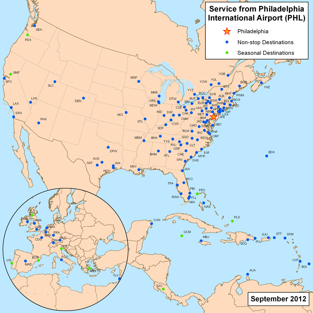
This is a route map for Philadelphia International Airport as of September 2007. Map is an Azimuthal equidistant projection centered on the airport so straight lines from Philadelphia are along great circle routes. European inset does not use the same projection. |
|---|---|
| Source |
self-made, data is from individual airline websites. |
| Date |
August 6, 2007 |
| Author | |
| Permission (Reusing this image) |
see below |
[edit] Licensing
|
文件历史
点击日期/时间以查看当时出现过的文件。
| 日期/时间 | 维度 | 用户 | 注解 | |
|---|---|---|---|---|
| 当前 | 2007年8月6日 (一) 14:42 | 1,000×1,000 (462 KB) | Kmusser | ({{Information |Description=This is a route map for Philadelphia International Airport as of September 2007. Map is an Azimuthal equidistant projection centered on the air) |
链接
以下页面链接到本图像:

