
Image:Cape Colony map.png
维基百科,自由的百科全书
 |
This map image should be recreated using vector graphics as an SVG file. This has several advantages; see Commons:Media for cleanup for more information. If an SVG form of this image is already available, please upload it. After uploading an SVG, replace this template with template {{Vector version available|new image name.svg}} in this image. |
|
العربية | Български | Català | Česky | Dansk | Deutsch | English | Esperanto | Español | Français | Galego | 한국어 | Italiano | Magyar | Lietuvių | Nederlands | 日本語 | Polski | Português | Română | Русский | Suomi | Svenska | Türkçe | Українська | Tiếng Việt | मराठी | 中文(繁體) | 中文(简体) | +/- |
|
[edit] Summary
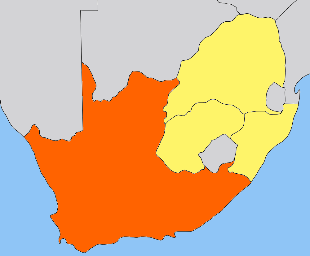
| Description |
Map of the Cape Colony/Cape Province in South Africa. Traced by hand in Inkscape from older version of this image, recoloured in the GIMP. |
|---|---|
| Source |
Own work, based on low-res map made by Messhermit and uploaded by Valentinian (see older versions of this file) |
| Date |
2006-05-09 |
| Author |
Self |
| Permission (Reusing this image) |
CC-BY-SA-2.5 |
| Other versions | Other province maps based on the same work: Cape Colony, Transvaal, Natal Colony, Orange Free State |
[edit] Licensing
| This file is licensed under the Creative Commons Attribution ShareAlike 2.5 License. In short: you are free to share and make derivative works of the file under the conditions that you appropriately attribute it, and that you distribute it only under a license identical to this one. Official license |
文件历史
点击日期/时间以查看当时出现过的文件。
| 日期/时间 | 维度 | 用户 | 注解 | |
|---|---|---|---|---|
| 当前 | 2006年5月9日 (二) 20:01 | 1,000×827 (49 KB) | Dewet | ({{Information| |Description=Map of the Cape Colony; traced by hand in Inkscape, recoloured in the GIMP. |Source=Own work |Date=2006-05-09 |Author=Self, based on [[:image:Cape_Colony_map.png|Cape Colony map) |
| 2005年7月25日 (一) 15:05 | 305×252 (41 KB) | Valentinian | (Map of the former Cape Colony in South Africa (before 1910.) {{PD-self}} Based on the map of Transvaal made by user:Messhermit) |

