Hình:Bien Dong.png
Bách khoa toàn thư mở Wikipedia
Không có độ phân giải cao hơn.
Bien_Dong.png (388×399 điểm ảnh, kích thước tập tin: 173 kB, định dạng MIME: image/png)
| | Tập tin này từ Wikimedia Commons. Trang miêu tả nó ở đấy được sao chép dưới đây.
|
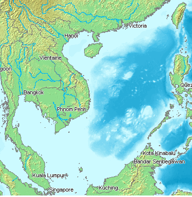
[edit] Description
Map of the east Vietnam sea, more commonly known as south China sea.
[edit] Source
Map created from DEMIS Mapserver, which are public domain, and then edited by User:Tttrung, the uploader.
[edit] Licensing

Lịch sử tập tin
Nhấn vào một ngày/giờ để xem nội dung tập tin tại thời điểm đó.
| Ngày/giờ | Kích cỡ | Thành viên | Miêu tả | |
|---|---|---|---|---|
| hiện tại | 13:16, ngày 9 tháng 11 năm 2005 | 388×399 (173 kB) | Tttrung | (==Description== Map of the east Vietnam sea, more commonly known as south China sea. ==Source== Map created from [DEMIS Mapserver], which are public domain, and then edited by me, the uploader. ) |
Liên kết đến tập tin
Có 4 trang tại Wikipedia tiếng Việt có liên kết đến tập tin (không hiển thị trang ở các dự án khác):

