
Resim:Kara Sea map.png
Vikipedi, özgür ansiklopedi
Ön izleme boyutu: 658 × 600 piksel
Tam çözünürlük (952 × 868 piksel, dosya boyutu: 382 KB, MIME tipi: image/png)
| | Bu dosya Wikimedia Commons'da yüklüdür. Dosyanın açıklaması aşağıdadır. |
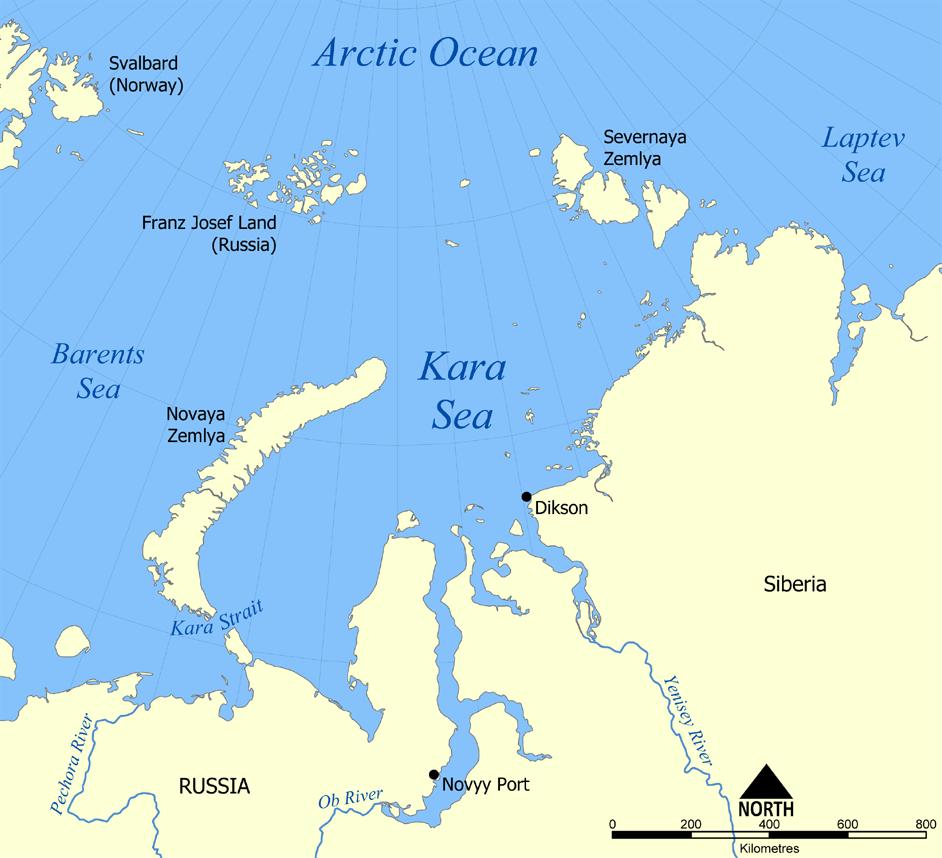
This map shows the location of the Kara Sea north of Russia. The sea is located south of the Arctic Ocean, east of the Barents Sea, west of the Laptev Sea, and is bounded by the Severnaya Zemlya and Novaya Zemlya.
Created by NormanEinstein, November 29, 2005.

Dosya geçmişi
Dosyanın geçmişini görebilmek için Gün/Zaman bölümündeki tarihleri tıklayınız.
| Gün/Zaman | Boyutlar | Kullanıcı | Açıklama | |
|---|---|---|---|---|
| Şimdiki | 22:12, 29 Kasım 2005 | 952×868 (382 KB) | NormanEinstein | (This map shows the location of the Kara Sea north of Russia. The sea is located south of the Arctic Ocean, east of the Barents Sea, west of the Laptev Sea, and is bounded by the Severnaya Zemlya and Novaya Zemlya. Created by NormanEinstein, November 29, ) |
Kullanıldığı sayfalar
Bu görüntü dosyasına bağlantısı olan sayfalar:

