
انځور:LocationIndia.png
د Wikipedia لخوا
د همدې مخکتنې کچه: 800 × 352 pixels
بشپړه بېلن نښې (1,427 × 628 پېکسل, د دوتنې کچه: 103 KB, MIME بڼه: image/png)
| | This is a file from the Wikimedia Commons. The description on its description page there is copied below. |
[edit] Summary
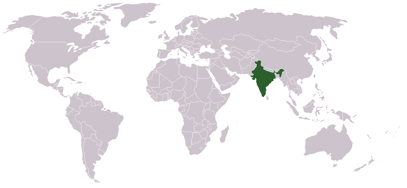
Location map for w:India.
User:dbenbenn modified Image:BlankMap-World.png.
[edit] Licensing
| This image has been (or is hereby) released into the public domain by its author, Vardion at the English Wikipedia project. This applies worldwide. In case this is not legally possible: |
د دوتنې پېښليک
په يوې نېټې/يوه وخت وټوکۍ چې د هماغه وخت او نېټې دوتنه چې په هماغه وخت کې څنګه ښکارېده هماغسې درښکاره شي.
| نېټه/وخت | ډډې | کارونکی | تبصره | |
|---|---|---|---|---|
| اوسنی | 03:16, 1 می 2008 | 1,427×628 (103 KB) | KAVO | ((Changed to colours more noticeable: *Light green - Claimed by India, not administered by India **(Aksai Chin, Azad Kashmir, Northern Areas, Shaksgam Valley) *Deep Green - Disputed with other nations, administered by India **(Arunachal Pradesh, Jammu and ) |
| 09:17, 3 جون 2005 | 1,357×628 (24 KB) | Nichalp | (NPOV map, please discuss any changes with me for NPOV status) | |
| 22:39, 12 فبروري 2005 | 1,357×628 (21 KB) | Dbenbenn | (higher resolution version, without black border) | |
| 20:28, 5 ډيسمبر 2004 | 250×115 (18 KB) | EugeneZelenko | (Location map for India.<br/>Originally created for English Wikipedia by Vardion.<br/>{{GFDL}}) |
تړنونه
دغه لانديني مخونه د همدې دوتنې سره تړنې لري:

