Grafika:Moll - A map of the world shewing the course of Mr Dampiers voyage round it from 1679 to 1691.png
Z Wikipedii
Rozmiar podglądu: 800 × 460 pikseli
Obraz w wyższej rozdzielczości (1 709 × 983 pikseli, rozmiar pliku: 2,25 MB, typ MIME: image/png)
| | Plik Moll - A map of the world shewing the course of Mr Dampiers voyage round it from 1679 to 1691.png [ edytuj opis ] umieszczony jest w Wikimedia Commons, repozytorium wolnych zasobów projektów Fundacji Wikimedia. Wyjaśnienie podanej poniżej licencji znajdziesz na stronie Opisy licencji grafiki. |
[edit] Summary
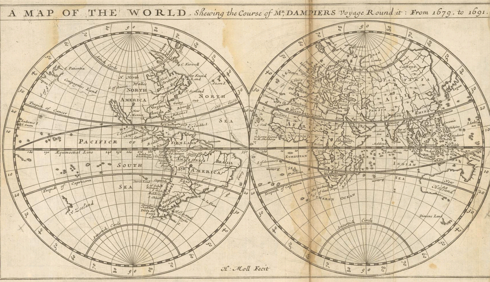
Herman Moll: A map of the world, shewing the course of Mr. Dampiers voyage round it: from 1679, to 1691, London 1697
| Creator/Artist | ||
|---|---|---|
| Name |
Moll, Herman
|
|
| Alternative names |
Moll, Hermann
|
|
| Date of birth/death | c.1654 | 1732-09-22 |
| Work location |
London
|
|
[edit] Licensing
| This image (or other media file) is in the public domain because its copyright has expired. This applies to the United States, Canada, the European Union and those countries with a copyright term of life of the author plus 70 years.
العربية | Asturianu | Български | Català | Česky | Dansk | Deutsch | English | Ελληνικά | Esperanto | Español | Euskara | فارسی | Français | Gaeilge | Galego | עברית | हिन्दी | Bahasa Indonesia | Italiano | 日本語 | 한국어 | Kurdî / كوردی | Lietuvių | Magyar | Nederlands | Norsk (nynorsk) | Македонски | Bahasa Melayu | Polski | Português | Română | Русский | Slovenčina | Slovenščina | Shqip | Suomi | Sámegiella | Türkçe | 中文(简体) | 中文(繁體) | 粵語 | +/- |
Historia pliku
Kliknij na datę/czas, aby zobaczyć, jak plik wyglądał w tym czasie.
| Data/czas | Wymiary | Użytkownik | Opis | |
|---|---|---|---|---|
| aktualny | 23:45, 16 wrz 2005 | 1 709×983 (2,25 MB) | Frank Schulenburg | (Herman Moll: ''A map of the world, shewing the course of Mr. Dampiers voyage round it: from 1679, to 1691'', London 1697 {{Creator:Herman Moll}} Category:17th century maps) |
Odnośniki do pliku
Następujące strony odwołują się do tego pliku:

