Grafika:LocationUSA.png
Z Wikipedii
Rozmiar podglądu: 800 × 352 pikseli
Obraz w wyższej rozdzielczości (1 427 × 628 pikseli, rozmiar pliku: 29 kB, typ MIME: image/png)
| | Plik LocationUSA.png [ edytuj opis ] umieszczony jest w Wikimedia Commons, repozytorium wolnych zasobów projektów Fundacji Wikimedia. Wyjaśnienie podanej poniżej licencji znajdziesz na stronie Opisy licencji grafiki. |
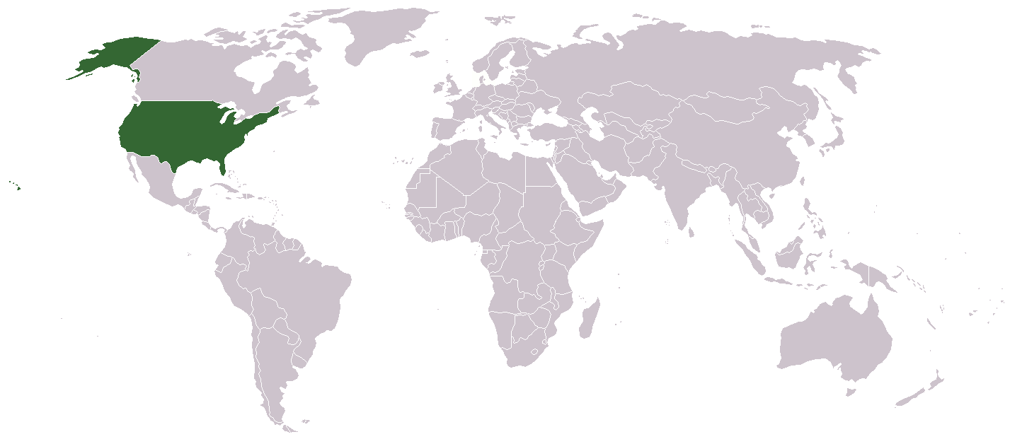
A country locator map for the United States created by Aris Katsaris

 A vector version of this image (SVG) is available. For more information about vector graphics, read about Commons transition to SVG. Български | Deutsch | English | Español | Français | Galego | עברית | Magyar | Bahasa Indonesia | Italiano | 日本語 | 한국어 | Lietuvių | Polski | Português | Русский | Српски / Srpski | Українська | 中文(简体) | 中文(繁體) | +/- |
 |
[edit] File history
- Legend: (cur) = this is the current file, (del) = delete this old version, (rev) = revert to this old version.
- Click on date to download the file or see the image uploaded on that date.
- (Delete all revisions of this file) (cur) 10:32, September 17, 2005 . . Redwolf24 . . 250x115 (12649 bytes) (Reverted to earlier revision)
- (del) (rev) 13:15, August 4, 2005 . . Knolls . . 250x115 (12649 bytes) (Reverted to earlier revision)
- (del) (rev) 02:14, June 23, 2005 . . Alex12 3 . . 250x115 (16894 bytes) (Reverted to earlier revision)
- (del) (rev) 02:14, June 23, 2005 . . Alex12 3 . . 250x115 (12649 bytes) (Reverted to earlier revision)
- (del) (rev) 06:00, September 26, 2004 . . Siroxo . . 250x115 (16894 bytes) (minor fix to alaska color)
- (del) (rev) 11:33, July 27, 2004 . . Aris Katsaris . . 250x115 (12649 bytes) (locator map, created modified from other Wikipedia locator maps)
Historia pliku
Kliknij na datę/czas, aby zobaczyć, jak plik wyglądał w tym czasie.
| Data/czas | Wymiary | Użytkownik | Opis | |
|---|---|---|---|---|
| aktualny | 13:07, 9 cze 2006 | 1 427×628 (29 kB) | Aivazovsky | |
| 22:05, 2 mar 2006 | 250×115 (12 kB) | Golbez | (Reverted to earlier revision) | |
| 15:58, 2 mar 2006 | 250×115 (14 kB) | Mr.Do! | (A country locator map for the United States created by Mr. 003 {{GFDL}} File history Legend: (cur) = this is the current file, (del) = delete this old version, (rev) = revert to this old version. Click on date) | |
| 08:16, 1 gru 2005 | 250×115 (12 kB) | Pamri | (uploaded current version from en.) | |
| 19:35, 31 gru 2004 | 250×115 (16 kB) | Bjarki S |
Odnośniki do pliku
Następujące strony odwołują się do tego pliku:

