
Afbeelding:Cheshire outline map with UK.png
Uit Wikipedia, de vrije encyclopedie
Geen hogere resolutie beschikbaar.
Cheshire_outline_map_with_UK.png (722 × 552 pixels, bestandsgrootte: 412 kB, MIME-type: image/png)
| | Dit is een bestand van Wikimedia Commons. Onderstaande beschrijving komt van de beschrijving van het bestand daar. Controleer het gebruik van dit bestand in andere Wikimediaprojecten. |
| Description |
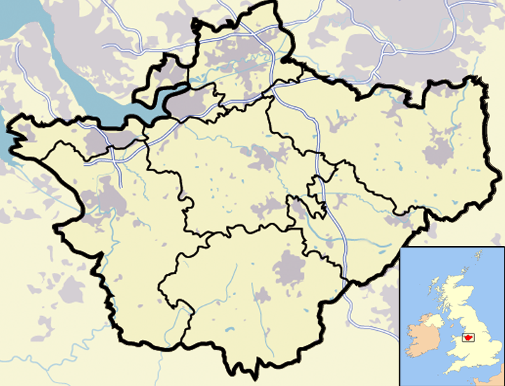
Map of en:Cheshire and surrounding area, with micromap of the British Isles for context. Urban areas are shown in grey, water bodies in light-blue, motorways in blue with white stripe and county and borough boundaries in black. |
|---|---|
| Source |
Originally from en.wikipedia; description page is/was here. |
| Date |
2007-03-29 (first version); 2007-04-11 (last version) |
| Author |
Original uploader was Jhamez84 at en.wikipedia |
| Permission (Reusing this image) |
Released into the public domain (by the author). |
| Other versions |  (for boundaries expected to come into effect for 2009). (for boundaries expected to come into effect for 2009). |
[edit] License information
| This image has been (or is hereby) released into the public domain by its author, Jhamez84 at the wikipedia project. This applies worldwide. In case this is not legally possible: |
[edit] Original upload log
(All user names refer to en.wikipedia)
- 2007-04-11 23:50 Jhamez84 722×552×8 (421996 bytes) correcting positioning of some urban areas (they were too east-northeasterly)
- 2007-04-11 17:14 Jhamez84 722×552×8 (420187 bytes) fixing issues in and around the [[M6 motorway]] (moving it to the west per discussion)
- 2007-04-11 00:38 Jhamez84 722×552×8 (438177 bytes) Much more detailed (and thus hopefully more accurate) version of the [[Cheshire]] map.
- 2007-03-29 23:48 Jhamez84 800×558×8 (446798 bytes) Map of [[Cheshire]] and surrounding area, with micromap of the British Isles for context. Urban areas are shown in grey, water bodies in light-blue, motorways in blue with white stripe and county and borough boundaries in black.
Bestandsgeschiedenis
Klik op een datum/tijd om het bestand te zien zoals het destijds was.
| Datum/tijd | Afmetingen | Gebruiker | Opmerking | |
|---|---|---|---|---|
| huidige versie | 23 jun 2008 15:02 | 722x552 (412 kB) | Jhamez84 | (removed erroneous urban area) |
| 29 jun 2007 22:55 | 722x552 (412 kB) | Pit-yacker | ({{Information |Description=Map of en:Cheshire and surrounding area, with micromap of the British Isles for context. Urban areas are shown in grey, water bodies in light-blue, motorways in blue with white stripe and county and borough boundaries in bl) |
Bestandsverwijzingen
Dit bestand wordt op de volgende 23 pagina's gebruikt:

