Image:Position of Northland.png
Nō Wikipedia Māori
No higher resolution available.
Position_of_Northland.png (405 × 590 pixel, file size: 7 KB, MIME type: image/png)
| | This is a file from the Wikimedia Commons. The description on its description page there is shown below. |
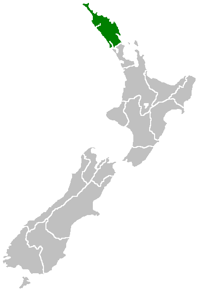
Region of New Zealand, position on the map (source:English Wiki)
| This image has been (or is hereby) released into the public domain by its author, Furius at the English Wikipedia project. This applies worldwide. In case this is not legally possible: |
File history
Click on a date/time to view the file as it appeared at that time.
| Date/Time | Dimensions | User | Comment | |
|---|---|---|---|---|
| current | 07:40, 27 Āperira 2005 | 405×590 (7 KB) | Domie | (Region of New Zealand, position on the map (source:English Wiki) {{PD}} Category:Maps of New Zealand) |
Links
The following 101 pages link to this file:
- Whangārei-terenga-paraoa
- Portland
- Wheki Valley
- Template:Maramara matawhenua (Tai-tokerau)
- Whangarei Heads
- Waiotama
- Avoca
- Maropiu
- Taurikura
- Reotahi Bay
- Tangiteroria
- Ocean Beach
- Marsden Bay
- Takahiwai
- Oakleigh
- Waihue
- Mamaranui
- Urquharts Bay
- Maungakaramea
- Tangihua
- Kirikopuni
- Mangapai
- Maitahi
- Tangowahine
- Omamari
- Moewhare
- Tauraroa
- Pukehuia
- Marsden Point
- Springfield
- Hoanga
- Omana
- Te Wharau
- Parahaka
- Pikiwahine
- Awakino Point
- Parore
- Waipu Caves
- Waiotira
- Windy Hill
- Ruarangi
- Waikiekie
- Mangatara
- Baylys Beach
- North River
- Turiwiri
- Mount Wesley
- Sunny Nook
- Rehutai
- Waipu
- Arapohue
- Mahuta
- Braigh
- Taipuha
- Mititai
- Aratapu
- Waipu Cove
- Langs Beach
- Mareretu
- Parahi
- Ararua
- Rehia
- Tokatoka
- Tatarariki
- Redhill
- Oparaku
- Whenuanui
- Repia
- Glinks Gully
- Brynderwyn
- Naumai
- Paparoa
- Koremoa
- Maungaturoto
- Huarau
- Raupo
- Mangawhai
- Pukekaroro
- Tikinui
- Matakohe
- Hakaru
- Marohemo
- Pahi
- Te Kowhai
- Mapau
- Kaiwaka
- Whakapirau
- Te Arai Point
- Hukatere
- Taingaehe
- Hingaia
- Te Arai
- Arapaoa
- Tanoa
- Topuni
- Ngapuamataehu
- Batley
- Tomarata
- Te Hana
- Tinopai
View more links to this file.

