Vaizdas:South Africa Provinces showing WC.png
Straipsnis iš Vikipedijos, laisvosios enciklopedijos.
Sumažintos iliustracijos dydis: 800 × 578 tšk.
Didesnės raiškos iliustracija (1 146 × 828 taškų, failo dydis: 20 KiB, MIME tipas: image/png)
| | Šis failas yra iš bendros Wikimedia Commons nemokamų resursų duomenų bazės, palaikomos Wikimedia Foundation organizacijos. |
Contents |
[edit] Summary
[edit] Summary
| Description |
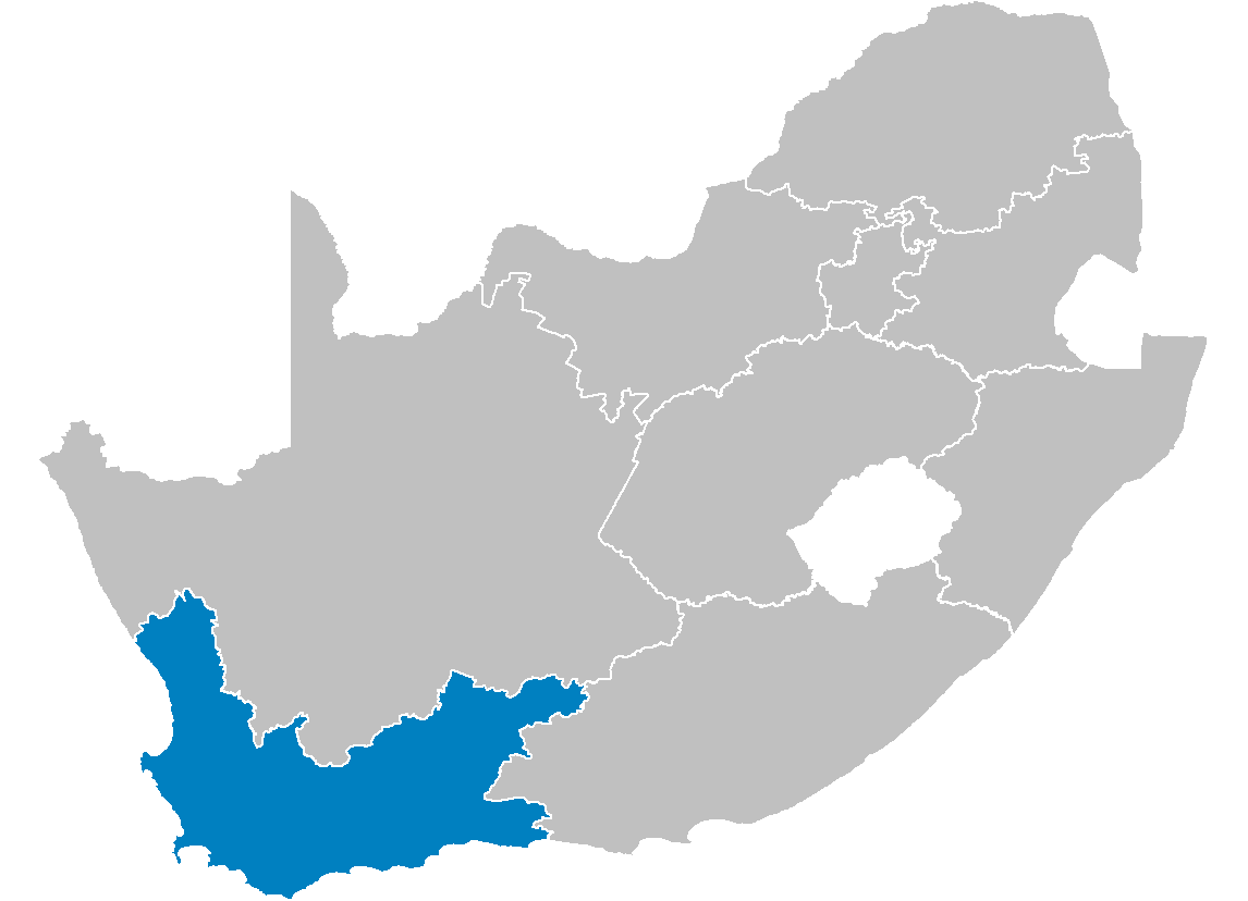
Map of South Africa showing the Western Cape province after the 12th amendment of the constitution in December 2005. |
|---|---|
| Source |
Created by me from Shapefile data from the Municipal Demarcation Board, South Africa. |
| Date |
2006-04-29 |
| Author |
Wayne Dam (User:Waynedam) |
| Permission (Reusing this image) |
Dual-licensed under the GFDL and CC-By-SA-2.5, 2.0, and 1.0. |
[edit] Licensing

[edit] Licensing
|
Paveikslėlio istorija
Paspauskite ant datos/laiko, kad pamatytumėte failą tokį, koks jis buvo tuo metu.
| Data/Laikas | Matmenys | Naudotojas | Komentaras | |
|---|---|---|---|---|
| dabartinis | 17:21, 2006 balandžio 29 | 1 146×828 (20 KiB) | Waynedam | (== Summary == {{Information| |Description=Map of South Africa showing the Western Cape province after the 12th amendment of the constitution in December 2005. |Source=Created by me from Shapefile data from the [http://www.demarcation.org.za/ Municipal De) |
Paveikslėlio naudojimas
Paveikslėlis naudojamas šiuose straipsniuose:

