Vaizdas:Norwegian Sea map.png
Straipsnis iš Vikipedijos, laisvosios enciklopedijos.
Sumažintos iliustracijos dydis: 657 × 600 tšk.
Didesnės raiškos iliustracija (1 000 × 913 taškų, failo dydis: 513 KiB, MIME tipas: image/png)
| | Šis failas yra iš bendros Wikimedia Commons nemokamų resursų duomenų bazės, palaikomos Wikimedia Foundation organizacijos. |
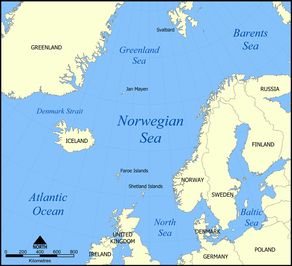
A map showing the location of the Norwegian Sea in the North Atlantic Ocean. There's also a blank version of the map available here: Image:Norwegian Sea blank map.png
Created by NormanEinstein, August 25, 2005.

Paveikslėlio istorija
Paspauskite ant datos/laiko, kad pamatytumėte failą tokį, koks jis buvo tuo metu.
| Data/Laikas | Matmenys | Naudotojas | Komentaras | |
|---|---|---|---|---|
| dabartinis | 19:10, 2005 lapkričio 7 | 1 000×913 (513 KiB) | NormanEinstein | (Added a few extra labels.) |
| 23:40, 2005 rugpjūčio 25 | 1 000×914 (502 KiB) | NormanEinstein | (A map showing the location of the Norwegian Sea in the North Atlantic Ocean. Created by NormanEinstein, August 25, 2005. {{GFDL-self}} Category:Maps of seas) |
Paveikslėlio naudojimas
Paveikslėlis naudojamas šiuose straipsniuose:

