
Kép:Uk outline map.png
A Wikipédiából, a szabad enciklopédiából.
Az előnézet mérete: 450 × 600 képpont
A kép nagyfelbontású változata (600 × 800 képpont, fájlméret: 9 KB, MIME-típus: image/png)
| | Ez a fájl a Wikimedia Commonsból származik. Az alább látható leírás az ottani dokumentációjának másolata. A Commons projekt szabad licencű kép- és multimédiatár. Segíts te is az építésében! |
[edit] Summary
| Description |
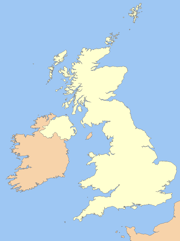
A blank map of the United Kingdom, with country outline and coastline; contact the author for help with modifications or add-ons |
|---|---|
| Source |
Reference map provided by Demis Mapper 6 |
| Date |
2006-21-06 |
| Author | |
| Permission (Reusing this image) |
See below |
[edit] Licensing

Fájltörténet
Kattints egy időpontra, hogy a fájl akkori állapotát láthasd.
| Dátum/idő | Felbontás | Feltöltő | Megjegyzés | |
|---|---|---|---|---|
| jelenlegi | 2007. március 31., 02:14 | 600×800 (9 KB) | Tene | (Optimised (0;r); I removed the (new) alpha channel - I've no idea why the previous uploader added it.) |
| 2007. március 15., 13:54 | 600×800 (33 KB) | Hoshie | (Fixed map to show that the Channel Islands and the Isle of Man are NOT a part of the UK - they are Crown Dependencies!) | |
| 2007. február 20., 01:50 | 600×800 (9 KB) | Tene | (Optimised (0;1024)) | |
| 2006. október 14., 19:03 | 600×800 (12 KB) | Nichtbesserwisser | (== Summary == {{Information| |Description=A blank map of the United Kingdom, with country outline and coastline; contact the author for help with modifications or add-ons |Source=Reference map provided by Demis Mapper 6 |Date=2006-21-06 |Author=[[:en:User) |
Képhivatkozások
Az alábbi lapok hivatkoznak erre a képre:
- Westminster-apátság
- I. Eduárd király várai és városfalai Gwynedd grófságban
- Conwyi vár
- Canterburyi katedrális
- Beaumaris vár
- Harlech vár
- Canterburyi Szent Ágoston-apátság
- Canterburyi Szent Márton-templom
- Blenheim-kastély
- Londoni Tower
- Studley Királyi Park
- Fountains-apátság
- Bath
- Blaenavon ipartörténeti műemlékei
- A cornwalli és a nyugat-devoni bányavidék
- Királyi Botanikus Kertek
- Sablon:Pozíciós térkép Nagy-Britannia
- Kew-palota
- Durhami székesegyház
- Durhami vár
- Caernarfoni vár

