Image:TXMap-doton-Laredo.PNG
Un article de Wikipédia, l'encyclopédie libre.
Pas de plus haute résolution disponible.
TXMap-doton-Laredo.PNG (300 × 284 pixels, taille du fichier : 16 Kio, type MIME : image/png)
| | Ce fichier provient de Wikimedia Commons?. Les informations le concernant sont affichées ci-dessous (procédure). |
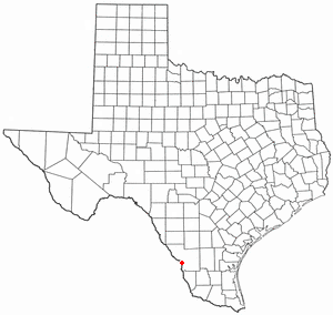
Locator maps U.S. cities derived from PD state maps by different users from en.wikipedia.
the filename has sometimes been adapted to the general syntax

Historique du fichier
Cliquer sur une date et une heure pour voir le fichier tel qu’il était à ce moment-là
| Date et heure | Dimensions | Utilisateur | Commentaire | |
|---|---|---|---|---|
| actuel | 29 juillet 2007 à 13:29 | 300×284 (16 Kio) | Ö | (Reverted to earlier revision) |
| 29 juillet 2007 à 00:08 | 630×594 (92 Kio) | AMAPO | ({{Information |Description=Texas County Map showing Laredo, Texas Location |Source=Modified from http://es.wikipedia.org/wiki/Imagen:Texas_map_-_Dallas_County.svg |Date=July 2007 |Author=drumguy8800 / AMAPO |Permission=GNU Free |other_versions=http://es.w) | |
| 10 février 2006 à 23:54 | 300×284 (16 Kio) | Michiel1972 | (Locator maps U.S. cities derived from PD state maps by different users from en.wikipedia. <small>the filename has sometimes been adapted to the general syntax</small> {{GFDL}} category:Location maps of U.S. cities ) |
Pages contenant l’image
La page ci-dessous contient cette image :

