Image:Champ1632 82.jpg
Un article de Wikipédia, l'encyclopédie libre.
Taille de cet aperçu : 800 × 395 pixels
Image en plus haute résolution (1 006 × 497 pixels, taille du fichier : 170 Kio, type MIME : image/jpeg)
| | Ce fichier provient de Wikimedia Commons?. Les informations le concernant sont affichées ci-dessous (procédure). |
[edit] Description
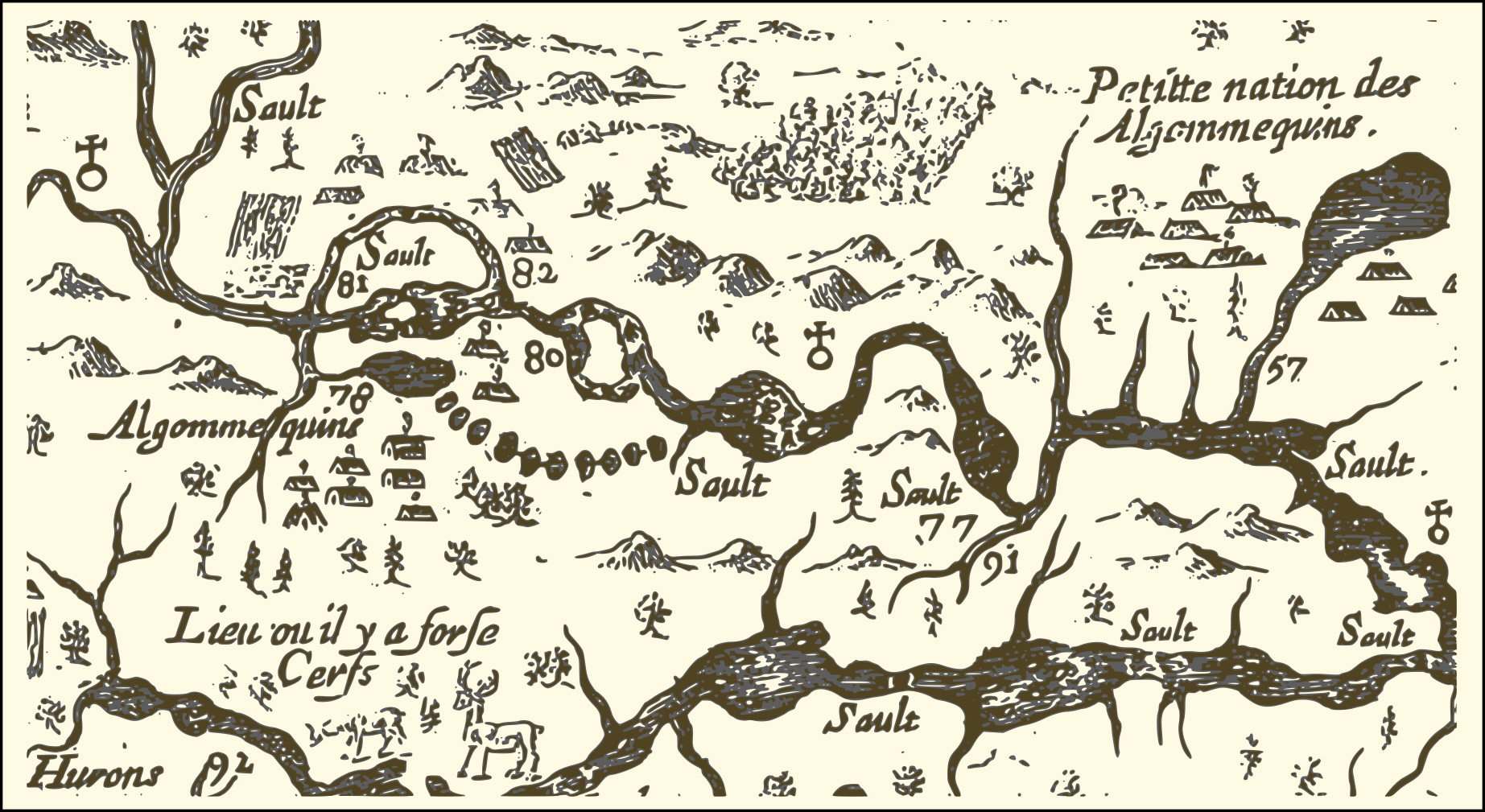
Carte de l'est de la Nouvelle-France par Samuel de Champlain 1632 extrait de la portion de la rivière des Outaouais
[edit] Licensing
| This image (or other media file) is in the public domain because its copyright has expired. This applies to the United States, Canada, the European Union and those countries with a copyright term of life of the author plus 70 years.
العربية | Asturianu | Български | Català | Česky | Dansk | Deutsch | English | Ελληνικά | Esperanto | Español | Euskara | فارسی | Français | Gaeilge | Galego | עברית | हिन्दी | Bahasa Indonesia | Italiano | 日本語 | 한국어 | Kurdî / كوردی | Lietuvių | Magyar | Nederlands | Norsk (nynorsk) | Македонски | Bahasa Melayu | Polski | Português | Română | Русский | Slovenčina | Slovenščina | Shqip | Suomi | Sámegiella | Türkçe | 中文(简体) | 中文(繁體) | 粵語 | +/- |
Historique du fichier
Cliquer sur une date et une heure pour voir le fichier tel qu’il était à ce moment-là
| Date et heure | Dimensions | Utilisateur | Commentaire | |
|---|---|---|---|---|
| actuel | 7 janvier 2007 à 03:21 | 1 006×497 (170 Kio) | Jljmt | (Carte de l'est de la Nouvelle-France par Samuel de Champlain 1632 extrait de la portion de la rivière des Outaouais) |
| 7 janvier 2007 à 01:50 | 1 006×497 (171 Kio) | Jljmt | (Carte de l'est de la Nouvelle-France par Samuel de Champlain 1632 extrait de la portion de la rivière des Outaouais) |
Pages contenant l’image
La page ci-dessous contient cette image :

