
Kuva:Ballarat location map in Victoria.PNG
Wikipedia
Esikatselun koko: 800×535 px
Korkeatarkkuuksinen versio (1 641×1 097 px, 134 KiB, MIME-tyyppi: image/png)
Tämä kuvatiedosto on Wikimedia Commonsista ja se on Wikimedia-projektien yhteiskäytössä. Kuvan sivulla Commons-wikissä on lisätietoja kuvasta ja sen käyttöoikeustiedot.
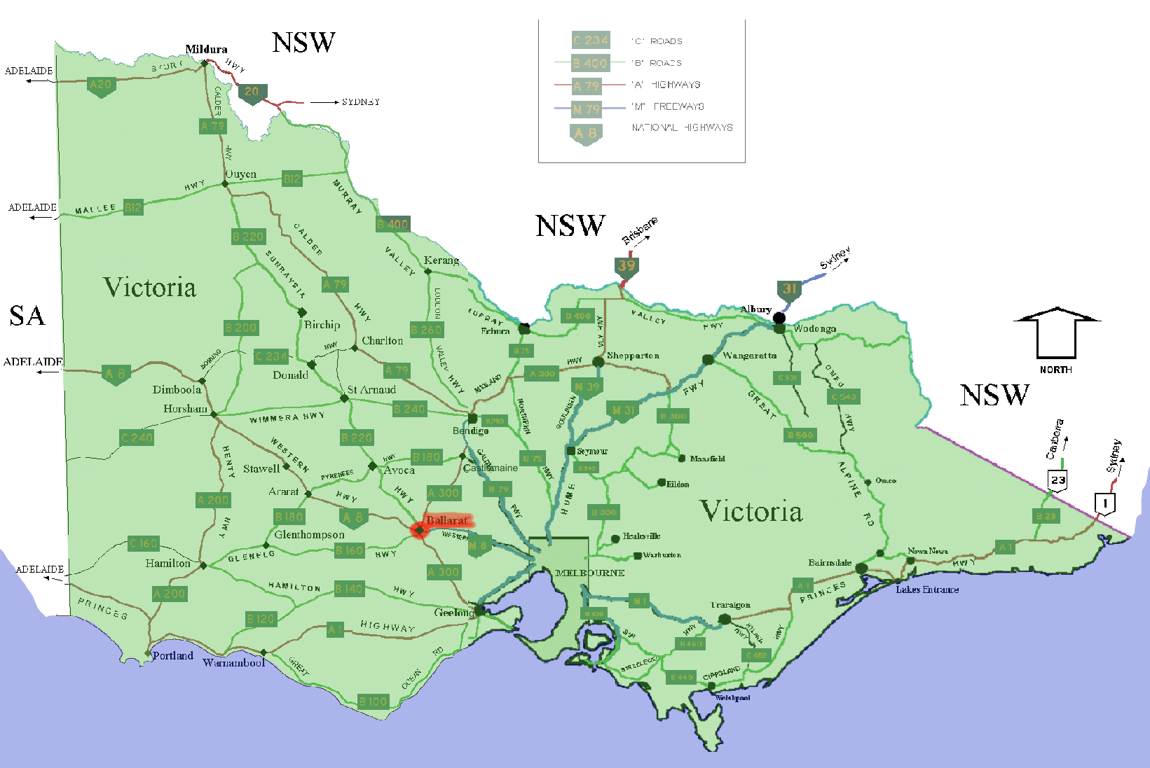
[[Media:]]== Summary == Shows location of w: Ballarat, Victoria marked in red in the Australian state of w:Victoria. The map is a modified version of two of User:Fikri's GNU-licensed road maps of Victoria on wikipedia west and east
[edit] Licensing

Tiedoston historia
Päiväystä napsauttamalla näet millainen tiedosto oli sillä ajan hetkellä.
| Päiväys | Koko | Käyttäjä | Kommentti | |
|---|---|---|---|---|
| nykyinen | 15. joulukuuta 2005 kello 23.48 | 1 641×1 097 (134 KiB) | Roke | (Shows location of w: Ballarat, Victoria marked in red in the Australian state of w:Victoria. The map is a modified version of two of User:Fikri's GNU-licensed road maps of Victoria on wikipedia [http://en.wikipedia.org/wiki/Image:WestVictoriaHwy.p) |
Viittaukset sivuilta
Seuraavilta sivuilta on linkki tähän tiedostoon:

