Pilt:Mappa an Mor Keltek.png
Allikas: Vikipeedia
Selle eelvaate suurus on: 359 × 599 pikselit
Originaalsuurus (431 × 719 pikslit, faili suurus: 24 KB, MIME tüüp: image/png)
| | See on jagatud fail ja asub Wikimedia Commonsis. Faili sealne kirjeldus on toodud allpool.
This is a file from the Wikimedia Commons. The description on its description page there is copied below. |
[edit] Summary
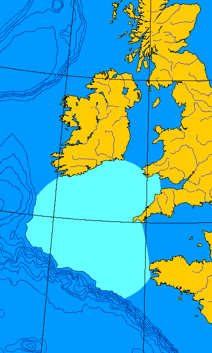
English: Map of the Celtic Sea. I made this file from a public domain original, generated at OMC.
Français : Carte de la Mer celtique. J'ai fait ce fichier-ci depuis une ébauche en domaine publique, générée à OMC. QuartierLatin1968 00:08, 15 Jun 2005 (UTC)
[edit] Licensing
| This image has been released into the public domain by its author, QuartierLatin1968. This applies worldwide. In some countries this may not be legally possible; if so: العربية | Български | Deutsch | Ελληνικά | English | Español | Français | Italiano | 日本語 | 한국어 | Polski | Русский | Српски / Srpski | Svenska | தமிழ் | Українська | 中文(繁體) | 中文(简体) +/- |
File history
Click on a date/time to view the file as it appeared at that time.
| Kuupäev/kellaaeg | Mõõtmed | Kasutaja | Kommentaar | |
|---|---|---|---|---|
| current | 15. juuni 2005, kell 00:08 | 431×719 (24 KB) | QuartierLatin1968 | ({{PD-user}} *{{en}} Map of the Celtic Sea. I made this file from a public domain original, generated at [http://www.aquarius.geomar.de/omc/make_map.html OMC]. *{{fr}} Carte de la Mer celtique. J'ai fait ce fichier-ci depuis une ébauche en domaine publiqu) |
Viited pildile
Sellele pildile viitavad järgmised leheküljed:

