Imagen:OHMap-doton-Loveland.png
De Wikipedia, la enciclopedia libre
No se dispone de una resolución más alta.
OHMap-doton-Loveland.png (274 × 300 píxeles; tamaño de archivo: 10 KB; tipo MIME: image/png)
| | Éste es un fichero de Wikimedia Commons, un depósito de contenido libre hospedado por la Fundación Wikimedia. Más abajo se reproduce su página de descripción con la información sobre su origen y licencia. |
[edit] Summary
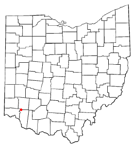
County map of Ohio, with a red dot at Loveland, Ohio, which is located in three counties. Adapted from Wikipedia's OH county maps by Catbar.
[edit] Licensing
 |
Permission is granted to copy, distribute and/or modify this document under the terms of the GNU Free Documentation License, Version 1.2 or any later version published by the Free Software Foundation; with no Invariant Sections, no Front-Cover Texts, and no Back-Cover Texts. Subject to disclaimers. Asturianu | Български | Català | Deutsch | English | Español | Français | Gaeilge | Italiano | 한국어 | 日本語 | Polski | Português | Română | Türkçe | +/- |
Historial del archivo
Haga clic sobre una fecha/hora para ver el archivo a esa fecha.
| Fecha/Hora | Dimesiones | Usuario | Comentario | |
|---|---|---|---|---|
| act | 11:22 30 ene 2006 | 274×300 (10 KB) | Mxn | (County map of Ohio, with a red dot at '''Loveland, Ohio''', which is located in three counties. Adapted from Wikipedia's OH county maps by Catbar. {{GFDL-user|Catbar|en}} Category:Maps of Ohio) |
Enlaces a la imagen
Las siguientes páginas enlazan a esta imagen:

