Imagen:Map of venezuela(1760-1839).jpg
De Wikipedia, la enciclopedia libre
No se dispone de una resolución más alta.
Map_of_venezuela(1760-1839).jpg (760 × 504 píxeles; tamaño de archivo: 76 KB; tipo MIME: image/jpeg)
| | Éste es un fichero de Wikimedia Commons, un depósito de contenido libre hospedado por la Fundación Wikimedia. Más abajo se reproduce su página de descripción con la información sobre su origen y licencia. |
[edit] Sumario
| Description |
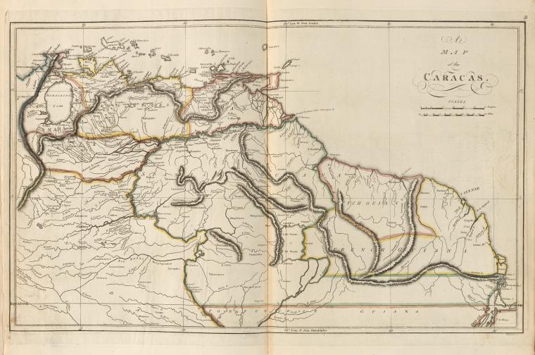
Map of Venezuela |
|---|---|
| Source | |
| Date |
1760-1839 |
| Author |
Carey, Mathew, ( Publisher) Warnicke, John G. -- (Engraver) |
| Permission (Reusing this image) |
Public Domain Old |
[edit] Licensing
This photographic reproduction is therefore also in the public domain. العربية | Česky | Deutsch | English | Ελληνικά | Español | فارسی | Français | עברית | Bahasa Indonesia | Italiano | 日本語 | 한국어 | Magyar | Nederlands | Polski | Português | Română | Русский | Slovenščina | Српски / Srpski | Basa Sunda | Türkçe | Українська | 中文(繁體) | 中文(简体) | +/- |
Historial del archivo
Haga clic sobre una fecha/hora para ver el archivo a esa fecha.
| Fecha/Hora | Dimesiones | Usuario | Comentario | |
|---|---|---|---|---|
| act | 06:09 29 jun 2006 | 760×504 (76 KB) | Oscar . | ({{Information| |Description= Map of Venezuela |Source= http://digitalgallery.nypl.org/nypldigital/dgkeysearchdetail.cfm?trg=1&strucID=745206&imageID=1404015&word=Caracas%20&s=1¬word=&d=&c=&f=&lWord=&lField=&sScope=&sLevel=&sLabel=&total=6&num=0&imgs=12) |
Enlaces a la imagen
Las siguientes páginas enlazan a esta imagen:

