
Image:Okres zilina.png
From Wikipedia, the free encyclopedia
Size of this preview: 790 × 600 pixels
Full resolution (2,376 × 1,804 pixels, file size: 299 KB, MIME type: image/png)
| | This is a file from the Wikimedia Commons. The description on its description page there is shown below.
|
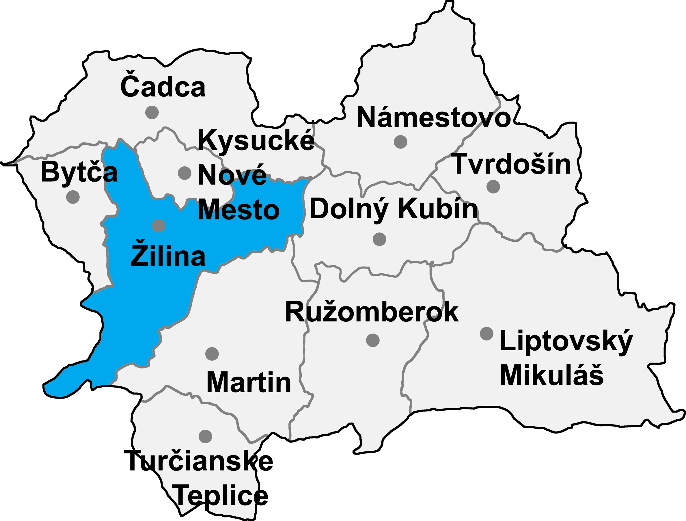
- map of the Žilina region (Žilinský kraj) in Slovakia, district (okres) of Žilina highlighted
- selfprovided on September 20th, 2004

File history
Click on a date/time to view the file as it appeared at that time.
| Date/Time | Dimensions | User | Comment | |
|---|---|---|---|---|
| current | 15:53, 8 January 2007 | 2,376×1,804 (299 KB) | Murli | ({{Information |Description= |Source= |Date= |Author= |Permission=Own work, all rights released (Public domain) |other_versions= }} {{PD-self}} ) |
| 09:10, 8 January 2007 | 2,376×1,804 (254 KB) | Murli | (better version) | |
| 19:52, 16 May 2005 | 274×212 (12 KB) | Murli | (*map of the Žilina region (Žilinský kraj) in Slovakia, district (okres) of Žilina highlighted *selfprovided on September 20th, 2004 {{GFDL}}) |
File links
The following pages on the English Wikipedia link to this file (pages on other projects are not listed):
- Žilina District
- Brezany
- Belá, Žilina District
- Brežany (Žilina District)
- Kamenná Poruba, Žilina District
- Podhorie, Žilina District
- Porúbka, Žilina District
- Višňové (Žilina District)
- Ovčiarsko
- Lysica
- Divina
- Divinka
- Turie
- Nededza
- Hričovské Podhradie
- Rosina, Slovakia
- Kunerad
- Dolný Hričov
- Jasenové
- Paština Závada
- Bitarová
- Teplička nad Váhom
- Lietavská Lúčka
- Kotrčiná Lúčka
- Dlhé Pole
- Lutiše
- Rajecká Lesná
- Nezbudská Lúčka
- Krasňany
- Hôrky
- Dolná Tižina
- Ďurčiná
- Horný Hričov
- Malá Čierna
- Mojš
- Zbyňov
- Fačkov
- Gbeľany
- Kľače
- Konská, Žilina District
- Stránske
- Stráňavy
- Stráža
- Svederník
- Šuja
- Veľká Čierna

