
Eisenhower Parkway
From Wikipedia, the free encyclopedia
 |
|||||||||
| County Route 609 |
|||||||||
| Eisenhower Parkway Maintained by Essex County |
|||||||||
| Length: | 4.12 mi[1] (6.63 km) | ||||||||
|---|---|---|---|---|---|---|---|---|---|
| South end: | |||||||||
| Major junctions: |
|||||||||
| North end: | |||||||||
|
|||||||||
Eisenhower Parkway, also known as County Route 609, is a highway in Essex County, New Jersey, located in the municipalities of Roseland and Livingston. Eisenhower Parkway dead ends at South Orange Avenue (County Route 510) in Livingston and also dead ends just north of Interstate 280 in Roseland.
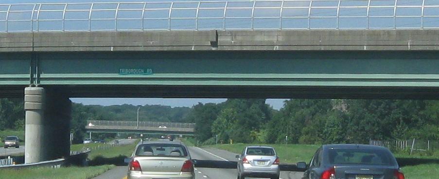
The original plan of the Parkway was to extend to Passaic Avenue in West Caldwell on the northern end and to Route 24 in Chatham on the southern end. There is a complete cloverleaf interchange at Route 24, which would have been Interchange 5 on 24 (and there were once blank signs erected on 24 West). The bridges over Route 24, which would have been part of Eisenhower Parkway, are currently open to all-terrain vehicles. Had it been extended to the south, it was going to be called Triborough Road (at least in Chatham and Florham Park)[2].
[edit] References
| This New Jersey road or road transport-related article is a stub. You can help Wikipedia by expanding it. |

