Bild:Ohio Locator Map.PNG
aus Wikipedia, der freien Enzyklopädie
Keine höhere Auflösung vorhanden.
Ohio_Locator_Map.PNG (288 × 263 Pixel, Dateigröße: 9 KB, MIME-Typ: image/png)
| | Diese Datei wird aus dem zentralen, mehrsprachigen Dateiarchiv Wikimedia Commons eingebunden. Sämtliche Informationen unter dem roten Trennstrich stammen von der dortigen Beschreibungsseite der Datei. | |
[edit] Summary
| Description |
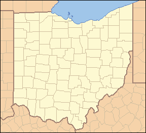
Locator Map of Ohio, United States |
|---|---|
| Source |
taken from US Census website [1] and modified by User:Ruhrfisch |
| Date |
April 2007 |
| Author |
US Census, Ruhrfisch |
| Permission (Reusing this image) |
US Census / US Government work is public domain, my modifications licensed under the GNU Free Documentation License |
| Other versions | none known |
[edit] Licensing
|

and
| This image or other media is a work of a United States Census Bureau employee, taken or made during the course of an employee's official duties. As a work of the U.S. federal government, the image is in the public domain |  |
Dateiversionen
Klicke auf einen Zeitpunkt, um diese Version zu laden.
| Version vom | Maße | Benutzer | Kommentar | |
|---|---|---|---|---|
| aktuell | 05:59, 25. Apr. 2007 | 288×263 (9 KB) | Ruhrfisch | (== Summary == {{Information| |Description= Locator Map of Ohio, United States |Source= taken from US Census website [http://factfinder.census.gov/] and modified by User:Ruhrfisch |Date= April 2007 |Author= US Census, Ruhrfisch |Permission= US Census ) |
| 03:07, 2. Apr. 2007 | 288×263 (9 KB) | Ruhrfisch | ({{Information| |Description= Locator Map of Ohio, United States |Source= taken from US Census website [http://factfinder.census.gov/] and modified by User:Ruhrfisch |Date= April 2007 |Author= US Census, Ruhrfisch |Permission= US Census / US Governmen) |
Verwendung
Die folgenden 25 Seiten verwenden diese Datei:
- Columbus (Ohio)
- Wapakoneta
- Toledo (Ohio)
- Cleveland
- Steubenville
- Akron
- Springfield (Ohio)
- Marietta (Ohio)
- Brunswick (Ohio)
- Bremen (Ohio)
- Oberlin (Ohio)
- Rushsylvania
- Tiffin (Ohio)
- Vorlage:Positionskarte USA Ohio
- Quincy (Ohio)
- Cambridge (Ohio)
- Caldwell (Ohio)
- Zanesville (Ohio)
- Benutzer:Bochum-Linden/Salem
- Eaton (Ohio)
- Benutzer:Bochum-Linden/Parma
- Grafton (Ohio)
- Clyde (Ohio)
- Benutzer:Bochum-Linden/Kalinda
- Ashland (Ohio)

