Bild:NWCoast1a.png
aus Wikipedia, der freien Enzyklopädie

Keine höhere Auflösung vorhanden.
NWCoast1a.png (761 × 529 Pixel, Dateigröße: 172 KB, MIME-Typ: image/png)
| | Diese Datei wird aus dem zentralen, mehrsprachigen Dateiarchiv Wikimedia Commons eingebunden. Sämtliche Informationen unter dem roten Trennstrich stammen von der dortigen Beschreibungsseite der Datei. | |
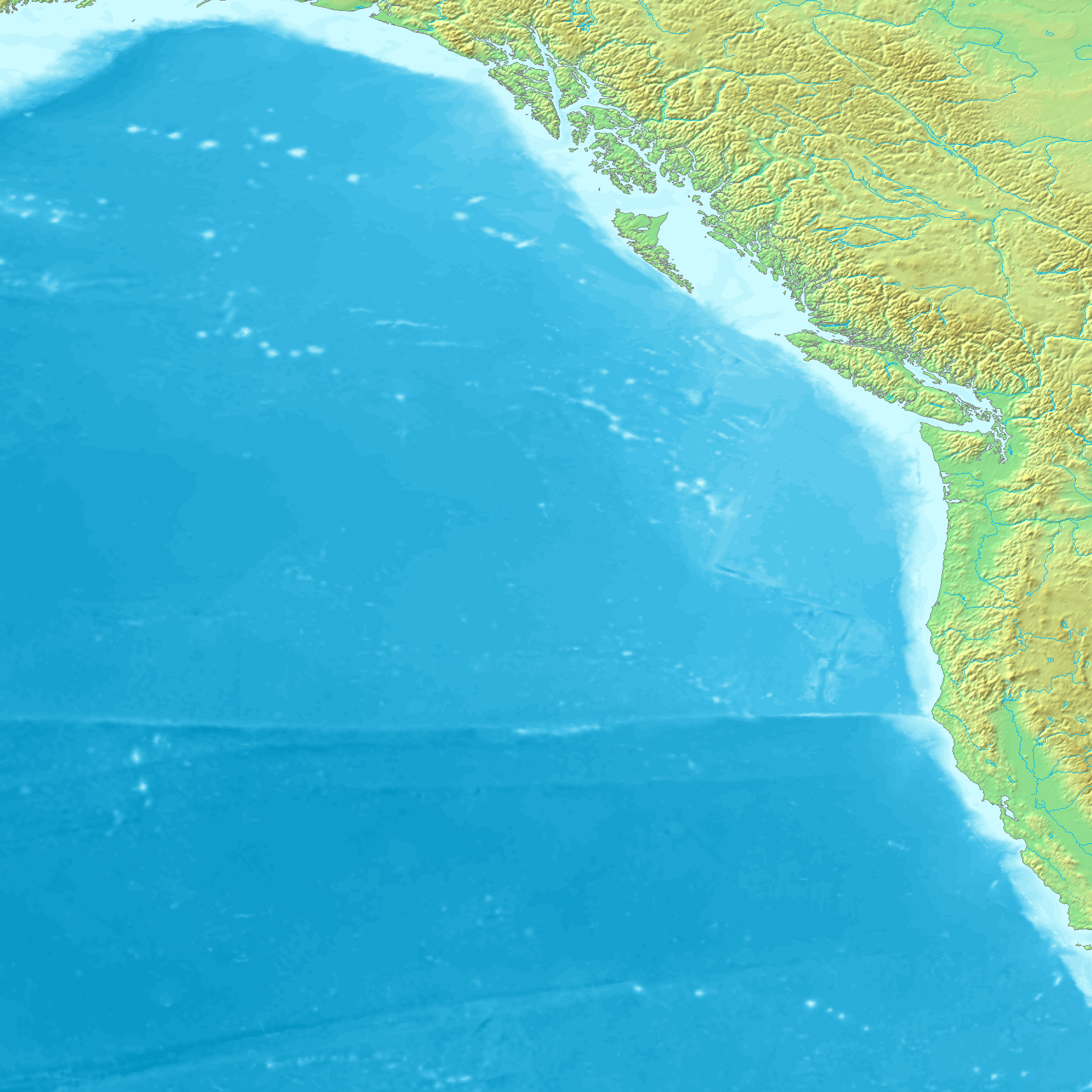
| Description |
Map of the coast of the Pacific Northwest --- Islands and major straits of the northern American pacific coast showing Prince of Wales Island (Alaska), Queen Charlotte Sound (Canada), Dixon Entrance, Hecate Strait, Baranof Island, Chichagof Island, Juneau Icefield, Stikine Icecap and other |
|---|---|
| Source |
http://en.wikipedia.org/wiki/Image:NWCoast1a.png — — — This is adapted from a regional Topographic map made from GEMS data that is already posted on Wikimedia Commons. Original map created from DEMIS Mapserver, which are public domain. |
| Date | |
| Author | |
| Permission (Reusing this image) |
|

Dateiversionen
Klicke auf einen Zeitpunkt, um diese Version zu laden.
| Version vom | Maße | Benutzer | Kommentar | |
|---|---|---|---|---|
| aktuell | 13:24, 1. Sep. 2006 | 761×529 (172 KB) | Mattes | ({{Information |Description=Map of the coast of the Pacific Northwest --- Islands and major straits of the northern American pacific coast showing Prince of Wales Island (Alaska), Queen Charlotte Sound (Canada), Dixon Entrance, Hecate Strait, Baranof Isla) |
Verwendung
Die folgenden 5 Seiten verwenden diese Datei:

