Bild:Lincoln Sea map.png
aus Wikipedia, der freien Enzyklopädie
Größe der Voransicht: 657 × 600 Pixel
Version in höherer Auflösung (1.000 × 913 Pixel, Dateigröße: 302 KB, MIME-Typ: image/png)
| | Diese Datei wird aus dem zentralen, mehrsprachigen Dateiarchiv Wikimedia Commons eingebunden. Sämtliche Informationen unter dem roten Trennstrich stammen von der dortigen Beschreibungsseite der Datei. | |
| Camera location | This and other geocoded Commons images: | (Info) |
|---|
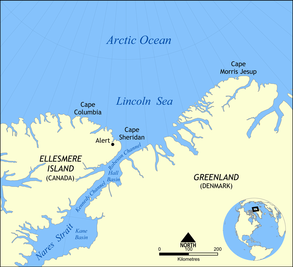
Map showing the location of the Lincoln Sea, part of the Arctic Ocean. Also shows Cape Columbia and Cape Morris Jesup.
Created by NormanEinstein, May 30, 2006.

Dateiversionen
Klicke auf einen Zeitpunkt, um diese Version zu laden.
| Version vom | Maße | Benutzer | Kommentar | |
|---|---|---|---|---|
| aktuell | 18:01, 7. Aug. 2007 | 1.000×913 (302 KB) | NormanEinstein | (Updated map. Slightly larger size.) |
| 23:14, 6. Aug. 2007 | 657×600 (185 KB) | Eivindghoel | ||
| 23:13, 6. Aug. 2007 | 657×600 (185 KB) | Eivindghoel | ||
| 16:02, 30. Mai 2006 | 996×909 (104 KB) | NormanEinstein | ({{Information Map showing the location of the Lincoln Sea, part of the Arctic Ocean. Also shows Cape Columbia and Cape Morris Jesup. Created by NormanEinstein, May 30, 2006. {{GFDL-self}} Category:Maps of seas) |
Verwendung
Die folgenden 2 Seiten verwenden diese Datei:

