Bild:Kenya Map.png
aus Wikipedia, der freien Enzyklopädie
Größe der Voransicht: 495 × 600 Pixel
Version in höherer Auflösung (1.002 × 1.214 Pixel, Dateigröße: 237 KB, MIME-Typ: image/png)
| | Diese Datei wird aus dem zentralen, mehrsprachigen Dateiarchiv Wikimedia Commons eingebunden. Sämtliche Informationen unter dem roten Trennstrich stammen von der dortigen Beschreibungsseite der Datei. | |
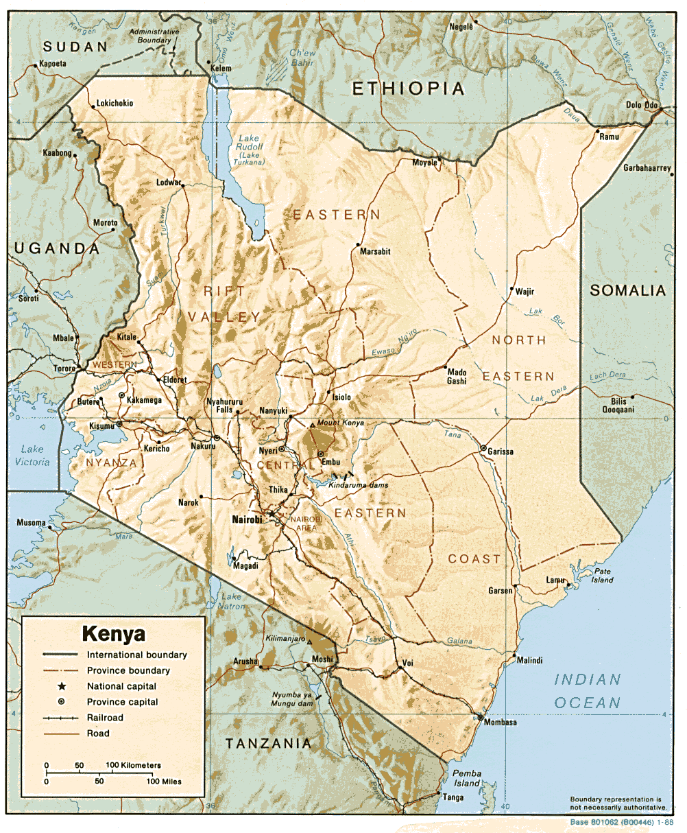
| Description |
English: Shaded relief map of Kenya
|
|---|---|
| Source | |
| Date | |
| Author | |
| Permission (Reusing this image) |
see below |
| Other versions | Image:Kenya-relief-map-towns.jpg (enlarged town names) |
| This image is a work of a Central Intelligence Agency employee, taken or made during the course of the person's official duties. As a Work of the United States Government, all images created or made by the CIA are in the public domain, with the exception of classified information. |  |
Dateiversionen
Klicke auf einen Zeitpunkt, um diese Version zu laden.
| Version vom | Maße | Benutzer | Kommentar | |
|---|---|---|---|---|
| aktuell | 15:17, 22. Feb. 2006 | 1.002×1.214 (237 KB) | Lupo | (Shaded relief map of Kenya. Source: [http://www.lib.utexas.edu/maps/africa/kenya.gif] from the [http://www.lib.utexas.edu/maps/kenya.html Perry-Castañeda Library Map Collection]. {{PD-USGov-CIA}} Category:Maps of Kenya) |
Verwendung
Die folgenden 2 Seiten verwenden diese Datei:


![[1]](http://www.lib.utexas.edu/maps/africa/kenya.gif)