Bild:Derwentcroped.jpg
aus Wikipedia, der freien Enzyklopädie
Keine höhere Auflösung vorhanden.
Derwentcroped.jpg (224 × 453 Pixel, Dateigröße: 19 KB, MIME-Typ: image/jpeg)
| | Diese Datei wird aus dem zentralen, mehrsprachigen Dateiarchiv Wikimedia Commons eingebunden. Sämtliche Informationen unter dem roten Trennstrich stammen von der dortigen Beschreibungsseite der Datei. | |
Dateiversionen
Klicke auf einen Zeitpunkt, um diese Version zu laden.
| Version vom | Maße | Benutzer | Kommentar | |
|---|---|---|---|---|
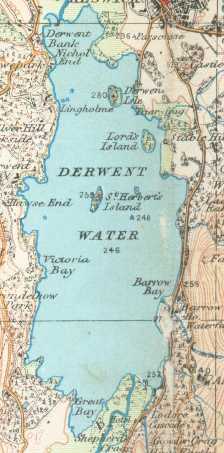
| aktuell | 00:22, 18. Okt. 2006 | 224×453 (19 KB) | Voyager | (== Summary == Derwent Water on a 1925 Ordnance Survey map :This work is in the public domain because it is an Ordnance Survey map over 50 years old. Ordnance Survey maps are covered by crown copyright which in this case expires 50 years after publication) |
Verwendung
Die folgende Seite verwendet diese Datei:

