Delwedd:Hadrians Wall map.png
Oddi ar Wicipedia
Maint y rhagolwg: 482 × 599 picsel
Maint llawn (800 × 995 picsel, maint y ffeil: 288 KB, ffurf MIME: image/png)
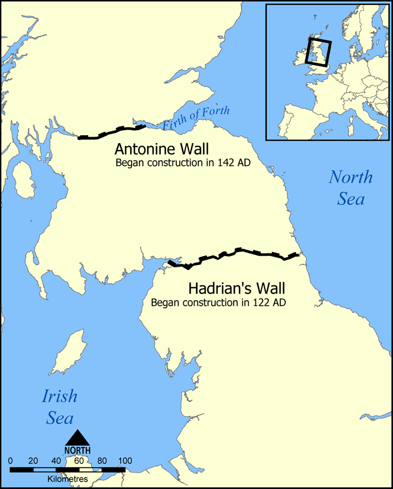
This map shows the location of Hadrian's Wall and the Antonine Wall in Scotland and Northern England.
Created by NormanEinstein, September 20, 2005.

Hanes y ffeil
Cliciwch ar ddyddiad/amser i weld y ffeil fel ag yr oedd bryd hynny.
| Dyddiad/Amser | Hyd a lled | Defnyddiwr | Sylw | |
|---|---|---|---|---|
| cyfredol | 21:00, 20 Medi 2005 | 800×995 (288 KB) | NormanEinstein | (This map shows the location of Hadrian's Wall and the Antonine Wall in Scotland and Northern England. Created by NormanEinstein, September 20, 2005. {{GFDL-self}}) |
Cysylltiadau'r ffeil
Mae'r tudalennau isod yn cysylltu i'r ddelwedd hon:

