ছবি:LocationIndia.png
মুক্ত বিশ্বকোষ উইকিপিডিয়াত্ত
Size of this preview: ৮০০ × ৩৫২ pixels
Full resolution (১,৪২৭ × ৬২৮ pixel, file size: ১০৩ KB, MIME type: image/png)
| | ফাইল এগ উইকিমিডিয়া কমন্সেত্ত নেনা অসে। অহানাত্ত নিয়াসিগা ছবি এগর বিশদ বর্ণনা তলে দেনা ইল। |
[edit] Summary
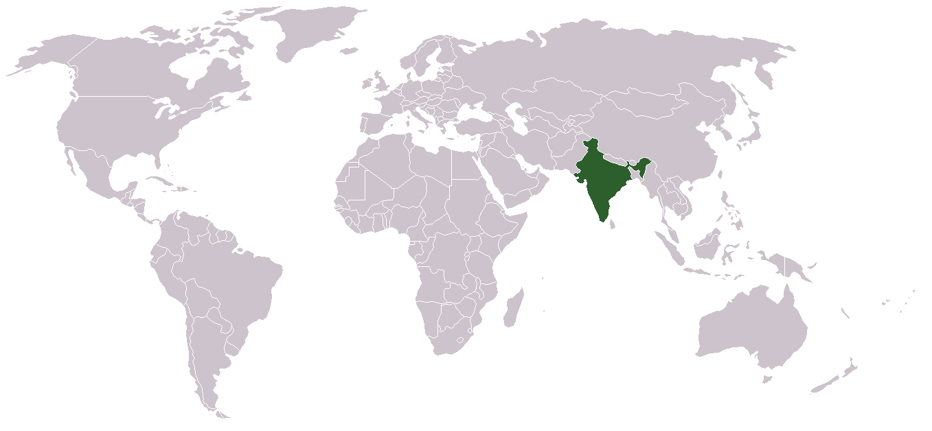
Location map for w:India.
User:dbenbenn modified Image:BlankMap-World.png.
[edit] Licensing
| This image has been (or is hereby) released into the public domain by its author, Vardion at the English Wikipedia project. This applies worldwide. In case this is not legally possible: |
File history
Click on a date/time to view the file as it appeared at that time.
| Date/Time | Dimensions | User | Comment | |
|---|---|---|---|---|
| current | ০৩:১৬, ১ মে ২০০৮ | ১,৪২৭×৬২৮ (১০৩ KB) | KAVO | ((Changed to colours more noticeable: *Light green - Claimed by India, not administered by India **(Aksai Chin, Azad Kashmir, Northern Areas, Shaksgam Valley) *Deep Green - Disputed with other nations, administered by India **(Arunachal Pradesh, Jammu and ) |
| ০৯:১৭, ৩ জুন ২০০৫ | ১,৩৫৭×৬২৮ (২৪ KB) | Nichalp | (NPOV map, please discuss any changes with me for NPOV status) | |
| ২২:৩৯, ১২ ফেব্রুয়ারী ২০০৫ | ১,৩৫৭×৬২৮ (২১ KB) | Dbenbenn | (higher resolution version, without black border) | |
| ২০:২৮, ৫ ডিসেম্বর ২০০৪ | ২৫০×১১৫ (১৮ KB) | EugeneZelenko | (Location map for India.<br/>Originally created for English Wikipedia by Vardion.<br/>{{GFDL}}) |
জুরিসিতা
The following files are duplicates of this file:
The following pages link to this file:

