
Irudi:LocationRomanEmpire.png
Wikipedia(e)tik
Aurreikuspen honen neurria: 800 × 520 pixel
Bereizmen handikoa (1,084 × 705 pixel, fitxategiaren tamaina: 34 KB, MIME mota: image/png)
| | Fitxategi hau Wikimedia Commonsen dago, beste proiektu batzuekin elkarbanatuta. Informazio gehigarria ikusteko, jatorrizko orrialdera jo. |
| Description |
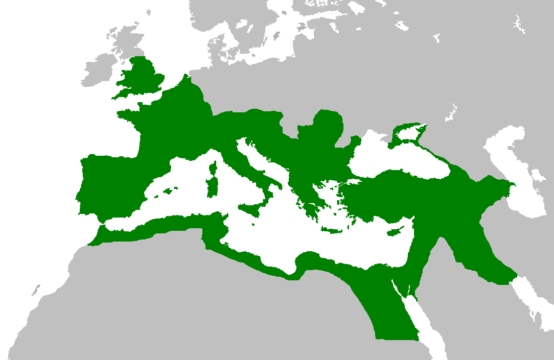
Map of the Roman Empire at its height, under Trajan. Suomi: Rooman valtakunta Trajanuksen aikana.
日本語: 117年(トラヤヌス帝の時代)のローマ帝国の最大領土
Português: Localização do Império Romano em sua extensão máxima.
|
|---|---|
| Source | |
| Date |
5 February 2007 |
| Author | |
| Permission (Reusing this image) |
|

Fitxategiaren historia
Data/orduan klik egin fitxategiak orduan zuen itxura ikusteko.
| Data/Ordua | Neurriak | Erabiltzailea | Iruzkina | |
|---|---|---|---|---|
| oraingoa | 14:44, 2 Ekaina 2007 | 1,084×705 (34 KB) | Medievalista | (Ok, sorry, my mistake... here is the new map) |
| 14:42, 2 Ekaina 2007 | 1,084×705 (34 KB) | Medievalista | (Update of the previous map: less of teritory in Africa, withdraw in Britain up to the future Hadrianic wall and improve the trace of the Rhine-Danube frontier) | |
| 03:45, 5 Otsaila 2007 | 1,084×705 (35 KB) | Jrockley | (lil bit more Africa, lil less Scandinavia ) | |
| 03:28, 5 Otsaila 2007 | 1,259×756 (41 KB) | Jrockley | (Much larger version, as faithful as possible) | |
| 12:24, 9 Abuztua 2005 | 250×175 (8 KB) | Kasper Holl | (Map of the location of the Roman Empire at its height, under Trajan. Made from the Blank Map World.) |
Irudiari loturak
Hurrengo orrialdeek dute fitxategi honetarako lotura:

